
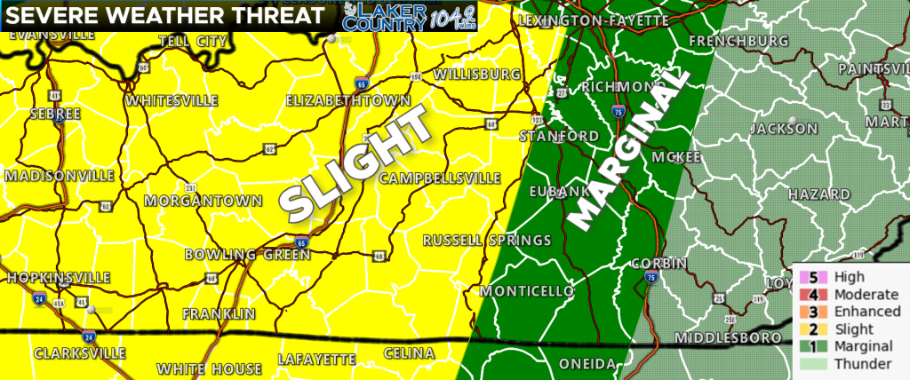
Good morning and happy Tuesday, everyone. Severe weather is possible across the Commonwealth today, along with the potential for flooding rainfall. The Storm Prediction Center has just shifted that level 2 “Slight Risk” of severe weather to now include most of the Lake Cumberland Area.
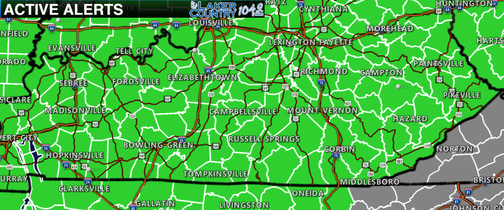
The National Weather Service has all of the Commonwealth in a Flood Watch that is now in effect. Some folks could get between 1 and 3 inches of rainfall today. Keep an eye on things, especially if you live in a low-lying, flood prone area.
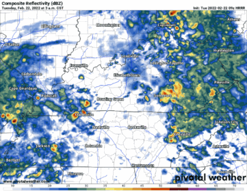
The latest run of the hour-by-hour radar is an interesting one. This run has the threat for severe storms moving in during the mid-morning and early afternoon hours. The original thinking was severe weather would come mainly this afternoon and evening. It now looks like the best time is between 11:00 a.m. and 3:00 this afternoon.
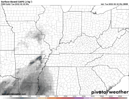
There is fuel for strong to severe storms is there, but the highest amount of fuel is across the deep south.
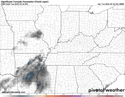
The Significant Tornado Parameter or STP shows the greatest tornado threat in Western Kentucky and in parts of Tennessee, Mississippi, and Alabama. The tornado threat is low, but not zero for our area.
The main threat with storms that form will be damaging straight line winds. I cannot rule out an isolated tornado or two though. Keep it tuned in to Laker Country 104.9 for additional severe weather information.