

Good Tuesday, everyone! I wanted to get on here and get make a post about the possibility of severe weather for tomorrow (Wednesday) and then this Saturday. There is still quite a bit of uncertainty regarding Saturday so let’s focus on tomorrow’s setup.
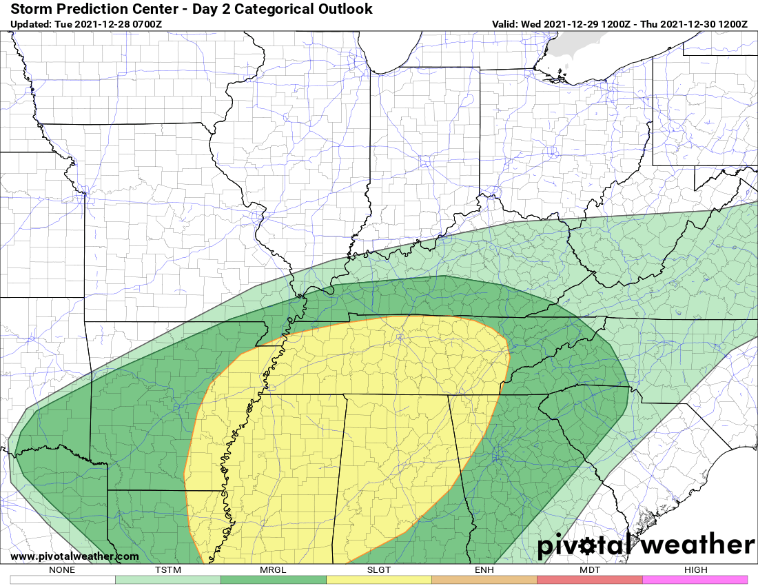
There’s the latest from the Storm Prediction Center and National Weather Service Office out of Louisville. Southern Kentucky is outlined in a level 1 Marginal Risk for severe weather tomorrow. We do note a level 2 Slight Risk is just to our south. This is conditional as it is hard to tell at this point if there will be enough instability or “fuel” for storms to fire up tomorrow.
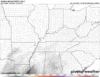
This map is showing the Surface Based CAPE or Convective Available Potential Energy. Basically, this is the model showing the amount of “fuel” out there for storms to feed off of for tomorrow. The darker the color, the more “fuel” there is for storms. There is obviously much more energy across the deep south where SPC has depicted a higher threat for severe weather tomorrow.
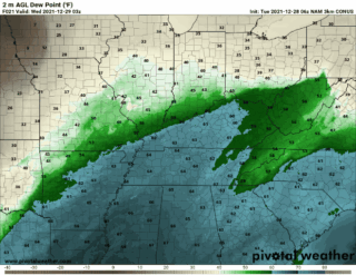
Dew points are also a way of looking at the potential for thunderstorm activity. For Kentucky tomorrow, dewpoints will remain in the 50s with some 60s around the state. You can see there is much more available moisture across the deep south. There is just not a whole lot of fuel for storms to get going tomorrow. I do think that there could be a few strong to severe storms, but as of right now the threat is much higher to our south. SPC is doing a great job at depicting southern Kentucky in that Marginal theat.
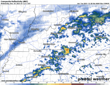
This is the latest future radar model. Keep in mind the radar will not look exactly like this. This latest run of the model shows the best chance for storms late tomorrow evening and into the overnight hours. I want to once again stress that this is a conditional and isolated severe weather threat.
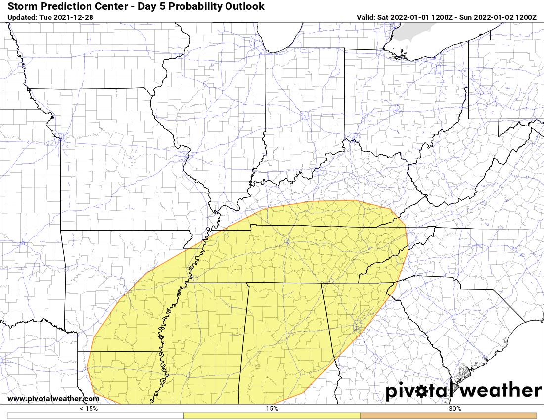
SPC as outlined much of our region in a potential severe threat for Saturday. There is still uncertainty, and it will take another day or two to get more details on the timing and threats. As always, we will keep you up to date with the very latest.